
Lý Sơn topographic map
Interactive map
Click on the map to display elevation.
About this map
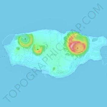
Name: Lý Sơn topographic map, elevation, terrain.
Location: Lý Sơn, Lý Sơn District, Quảng Ngãi Province, 54400, Vietnam (15.36904 109.09313 15.39222 109.14443)
Average elevation: 30 ft
Minimum elevation: 0 ft
Maximum elevation: 551 ft