
Calke Park (National Trust) topographic map
Interactive map
Click on the map to display elevation.
About this map
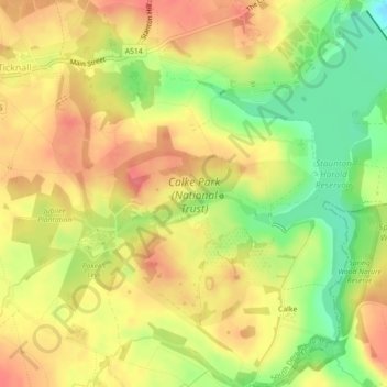
Name: Calke Park (National Trust) topographic map, elevation, terrain.
Average elevation: 322 ft
Minimum elevation: 194 ft
Maximum elevation: 410 ft