
Dinapur-Cum-Khagaul topographic map
Interactive map
Click on the map to display elevation.
About this map
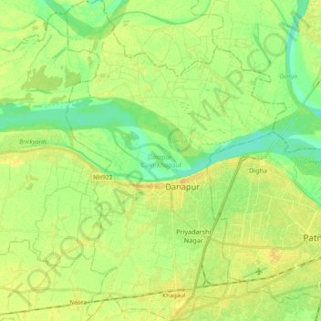
Name: Dinapur-Cum-Khagaul topographic map, elevation, terrain.
Location: Dinapur-Cum-Khagaul, Patna District, Bihar, India (25.56629 84.97998 25.73202 85.10694)
Average elevation: 167 ft
Minimum elevation: 128 ft
Maximum elevation: 203 ft
Other topographic maps
Click on a map to view its topography, its elevation and its terrain.
Forbesganj
India > Bihar > Forbesganj
Forbesganj, Araria, Bihar, 854318, India
Average elevation: 200 ft
Manikpur
India > Bihar > Narpatganj > Manikpur
Manikpur, Narpatganj, Araria, Bihar, 854336, India
Average elevation: 230 ft
Gaya
India > Bihar > Gaya Town C.D.Block > Gaya
Gaya, Gaya Town C.D.Block, Gaya, Bihar, 823001, India
Average elevation: 364 ft