
立尼贡卡 topographic map
Interactive map
Click on the map to display elevation.
About this map
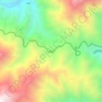
Name: 立尼贡卡 topographic map, elevation, terrain.
Location: 立尼贡卡, 奔子栏镇, 德钦县, 迪庆藏族自治州, 云南省, 中国 (28.23676 99.22582 28.27676 99.26582)
Average elevation: 9,462 ft
Minimum elevation: 7,411 ft
Maximum elevation: 11,864 ft