Cul-du-Bois topographic map
Interactive map
Click on the map to display elevation.
About this map
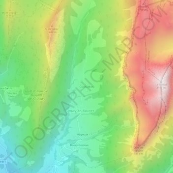
Name: Cul-du-Bois topographic map, elevation, terrain.
Average elevation: 4,239 ft
Minimum elevation: 2,195 ft
Maximum elevation: 7,096 ft

Click on the map to display elevation.
Name: Cul-du-Bois topographic map, elevation, terrain.
Average elevation: 4,239 ft
Minimum elevation: 2,195 ft
Maximum elevation: 7,096 ft