
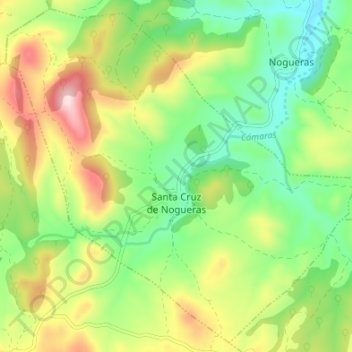
Santa Cruz de Nogueras topographic map
Interactive map
Click on the map to display elevation.
About this map
Name: Santa Cruz de Nogueras topographic map, elevation, terrain.
Location: Santa Cruz de Nogueras, Jiloca, Teruel, Aragón, España (41.09453 -1.12160 41.14276 -1.05427)
Average elevation: 3,104 ft
Minimum elevation: 2,674 ft
Maximum elevation: 3,766 ft