
Văn Phong topographic map
Interactive map
Click on the map to display elevation.
About this map
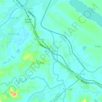
Name: Văn Phong topographic map, elevation, terrain.
Location: Văn Phong, Hải Lăng District, Quang Tri province, Vietnam (16.59494 107.29446 16.63494 107.33446)
Average elevation: 30 ft
Minimum elevation: -7 ft
Maximum elevation: 141 ft