
Machicura topographic map
Interactive map
Click on the map to display elevation.
About this map
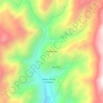
Name: Machicura topographic map, elevation, terrain.
Location: Machicura, Chontabamba, Province of Oxapampa, Pasco, Peru (-10.70736 -75.47573 -10.66736 -75.43573)
Average elevation: 6,161 ft
Minimum elevation: 4,409 ft
Maximum elevation: 8,015 ft