
Karima topographic map
Interactive map
Click on the map to display elevation.
About this map
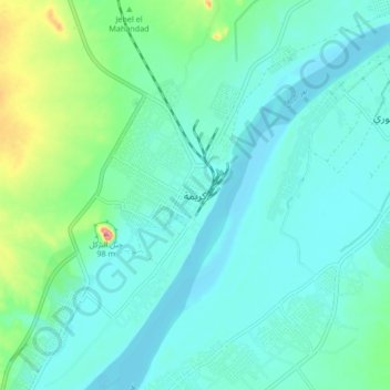
Name: Karima topographic map, elevation, terrain.
Location: Karima, Northern State, Sudan (18.50513 31.80762 18.58513 31.88762)
Average elevation: 873 ft
Minimum elevation: 804 ft
Maximum elevation: 1,158 ft