
La Selva topographic map
Interactive map
Click on the map to display elevation.
About this map
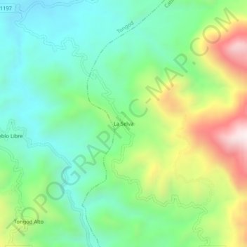
Name: La Selva topographic map, elevation, terrain.
Location: La Selva, Provincia de San Miguel, Cajamarca, Perú (-6.78784 -78.81223 -6.74784 -78.77223)
Average elevation: 9,226 ft
Minimum elevation: 8,235 ft
Maximum elevation: 11,253 ft