
Hatoyama topographic map
Interactive map
Click on the map to display elevation.
About this map
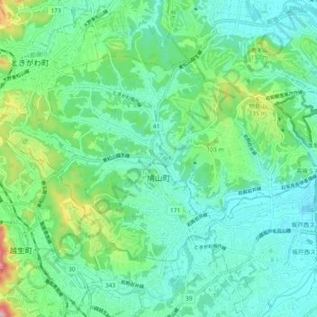
Name: Hatoyama topographic map, elevation, terrain.
Location: Hatoyama, Hiki County, Japan (35.96182 139.28743 36.01006 139.37936)
Average elevation: 217 ft
Minimum elevation: 62 ft
Maximum elevation: 715 ft