
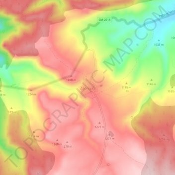
Zaorejas topographic map
Interactive map
Click on the map to display elevation.
About this map
Name: Zaorejas topographic map, elevation, terrain.
Location: Zaorejas, Guadalajara, Castilla-La Mancha, 19495, España (40.74217 -2.22174 40.78217 -2.18174)
Average elevation: 3,917 ft
Minimum elevation: 3,314 ft
Maximum elevation: 4,272 ft