
Heksenberg topographic map
Interactive map
Click on the map to display elevation.
About this map
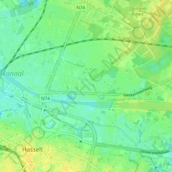
Name: Heksenberg topographic map, elevation, terrain.
Location: Heksenberg, Hasselt, Limburg, Vlaanderen, 35000, België (50.92512 5.33769 50.96512 5.37769)
Average elevation: 115 ft
Minimum elevation: 85 ft
Maximum elevation: 151 ft