
通惠河 topographic map
Interactive map
Click on the map to display elevation.
About this map
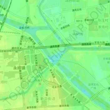
Name: 通惠河 topographic map, elevation, terrain.
Location: 通惠河, 通州区, 北京市, 101100, 中国 (39.91821 116.66141 39.92166 116.66556)
Average elevation: 82 ft
Minimum elevation: 52 ft
Maximum elevation: 98 ft
Other topographic maps
Click on a map to view its topography, its elevation and its terrain.