
Lafelt topographic map
Interactive map
Click on the map to display elevation.
About this map
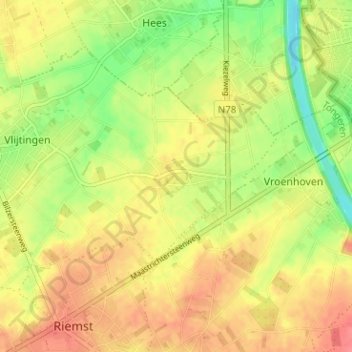
Name: Lafelt topographic map, elevation, terrain.
Location: Lafelt, Vlijtingen, Riemst, Limburg, Vlaanderen, België (50.80856 5.59642 50.84856 5.63642)
Average elevation: 299 ft
Minimum elevation: 184 ft
Maximum elevation: 387 ft
Lafelt ligt in Droog-Haspengouw op een hoogte van ongeveer 100 meter. Ten oosten van Lafelt bevindt zich het Albertkanaal.