
Manantial topographic map
Interactive map
Click on the map to display elevation.
About this map
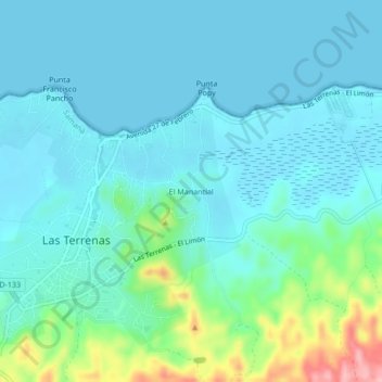
Name: Manantial topographic map, elevation, terrain.
Location: Manantial, Las Terrenas, Samaná, 3400, Dominican Republic (19.29609 -69.55031 19.33609 -69.51031)
Average elevation: 89 ft
Minimum elevation: -3 ft
Maximum elevation: 499 ft