
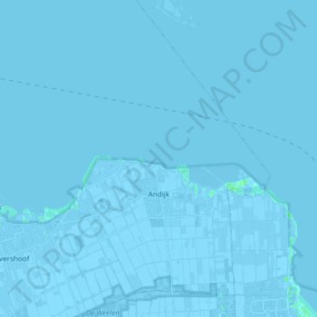
Andijk topographic map
Interactive map
Click on the map to display elevation.
About this map
Name: Andijk topographic map, elevation, terrain.
Location: Andijk, Medemblik, North Holland, Netherlands, The Netherlands (52.71023 5.16453 52.80041 5.27439)
Average elevation: -3 ft
Minimum elevation: -20 ft
Maximum elevation: 16 ft
Other topographic maps
Click on a map to view its topography, its elevation and its terrain.
Abbekerk
The Netherlands > North Holland > Medemblik
Abbekerk, Medemblik, North Holland, Netherlands, The Netherlands
Average elevation: -3 ft