
L'Ill topographic map
Interactive map
Click on the map to display elevation.
About this map
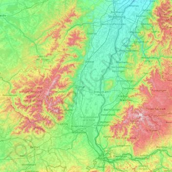
Name: L'Ill topographic map, elevation, terrain.
Location: L'Ill, Grand Est, Metropolitan France, 68190, France (47.45707 7.21292 48.70121 7.93382)
Average elevation: 1,503 ft
Minimum elevation: 404 ft
Maximum elevation: 4,826 ft