
Sidi Aich topographic map
Interactive map
Click on the map to display elevation.
About this map
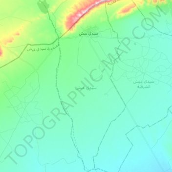
Name: Sidi Aich topographic map, elevation, terrain.
Location: Sidi Aich, Sidi Aïch, Gafsa, Tunisie (34.63362 8.75467 34.75626 8.81517)
Average elevation: 1,598 ft
Minimum elevation: 1,407 ft
Maximum elevation: 2,490 ft
Other topographic maps
Click on a map to view its topography, its elevation and its terrain.