
Brandon topographic map
Interactive map
Click on the map to display elevation.
About this map
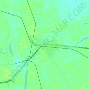
Name: Brandon topographic map, elevation, terrain.
Location: Brandon, Queensland, Australia (-19.57458 147.33399 -19.53458 147.37399)
Average elevation: 30 ft
Minimum elevation: 10 ft
Maximum elevation: 43 ft