
Pisang topographic map
Interactive map
Click on the map to display elevation.
About this map
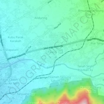
Name: Pisang topographic map, elevation, terrain.
Location: Pisang, Nagari TIMBULUN, West Sumatra, 25233, Indonesia (-0.97424 100.40045 -0.93424 100.44045)
Average elevation: 210 ft
Minimum elevation: 46 ft
Maximum elevation: 945 ft