
Asse topographic map
Interactive map
Click on the map to display elevation.
About this map
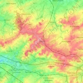
Name: Asse topographic map, elevation, terrain.
Location: Asse, Brabant flamand, Flandre, Belgique (50.87344 4.13898 50.94446 4.30094)
Average elevation: 151 ft
Minimum elevation: 13 ft
Maximum elevation: 282 ft