
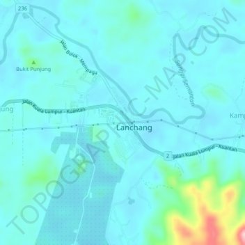
Kampung Kenangan topographic map
Interactive map
Click on the map to display elevation.
About this map
Name: Kampung Kenangan topographic map, elevation, terrain.
Location: Kampung Kenangan, Temerloh, Pahang, Malaysia (3.47741 102.17004 3.51741 102.21004)
Average elevation: 200 ft
Minimum elevation: 118 ft
Maximum elevation: 781 ft