
Hultaklint topographic map
Interactive map
Click on the map to display elevation.
About this map
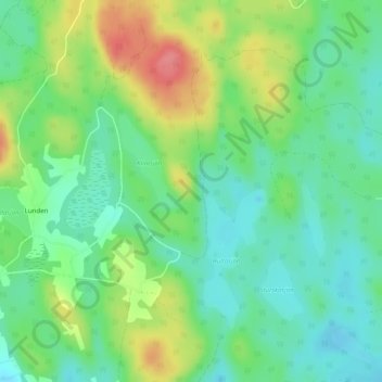
Name: Hultaklint topographic map, elevation, terrain.
Average elevation: 801 ft
Minimum elevation: 705 ft
Maximum elevation: 978 ft
Other topographic maps
Click on a map to view its topography, its elevation and its terrain.
Växjö
Sweden > Kronoberg County > Växjö
Växjö, Växjö kommun, Kronoberg County, Region Götaland, 351 04, Sweden
Average elevation: 571 ft