
Bazel topographic map
Interactive map
Click on the map to display elevation.
About this map
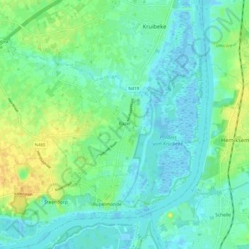
Name: Bazel topographic map, elevation, terrain.
Location: Bazel, Kruibeke, Flandre orientale, Flandre, 9150, Belgique (51.12494 4.23199 51.16873 4.33013)
Average elevation: 30 ft
Minimum elevation: -16 ft
Maximum elevation: 89 ft
Other topographic maps
Click on a map to view its topography, its elevation and its terrain.