
Guacavia topographic map
Interactive map
Click on the map to display elevation.
About this map
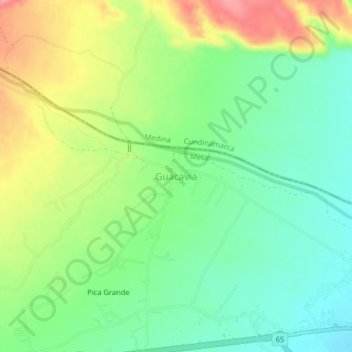
Name: Guacavia topographic map, elevation, terrain.
Location: Guacavia, Cumaral, Piedemonte, Meta, 501021, Colombia (4.26946 -73.53935 4.30946 -73.49935)
Average elevation: 1,509 ft
Minimum elevation: 1,368 ft
Maximum elevation: 1,739 ft