
Benangin 2 topographic map
Interactive map
Click on the map to display elevation.
About this map
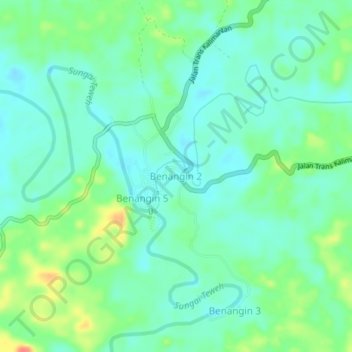
Name: Benangin 2 topographic map, elevation, terrain.
Location: Benangin 2, Central Kalimantan, Indonesia (-1.01863 115.35251 -0.97863 115.39251)
Average elevation: 187 ft
Minimum elevation: 135 ft
Maximum elevation: 305 ft