
Kratovo topographic map
Interactive map
Click on the map to display elevation.
About this map
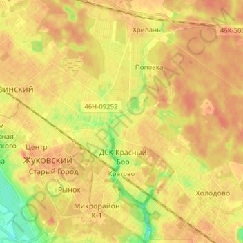
Name: Kratovo topographic map, elevation, terrain.
Average elevation: 436 ft
Minimum elevation: 351 ft
Maximum elevation: 476 ft
Other topographic maps
Click on a map to view its topography, its elevation and its terrain.
Ramenskoye
Russia > Moscow Oblast > Ramensky District
Ramenskoye, Ramensky District, Moscow Oblast, Central Federal District, 140100, Russia
Average elevation: 404 ft