
Carreño topographic map
Interactive map
Click on the map to display elevation.
About this map
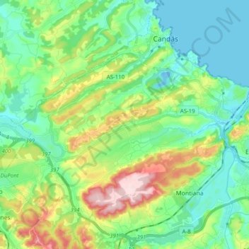
Name: Carreño topographic map, elevation, terrain.
Location: Carreño, Asturias, Spain (43.50253 -5.86301 43.60059 -5.70995)
Average elevation: 249 ft
Minimum elevation: -33 ft
Maximum elevation: 863 ft