
Bory topographic map
Interactive map
Click on the map to display elevation.
About this map
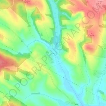
Name: Bory topographic map, elevation, terrain.
Location: Bory, Region of Nitra, Western Slovakia, 935 87, Slovakia (48.15904 18.72819 48.19904 18.76819)
Average elevation: 614 ft
Minimum elevation: 472 ft
Maximum elevation: 807 ft