
Erpe-Mere topographic map
Interactive map
Click on the map to display elevation.
About this map
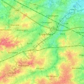
Name: Erpe-Mere topographic map, elevation, terrain.
Location: Erpe-Mere, Alost, Flandre orientale, Flandre, 9420, Belgique (50.87388 3.89273 50.95598 4.01124)
Average elevation: 135 ft
Minimum elevation: 30 ft
Maximum elevation: 282 ft