
Agnone topographic map
Interactive map
Click on the map to display elevation.
About this map
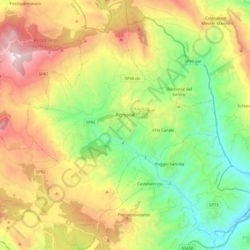
Name: Agnone topographic map, elevation, terrain.
Location: Agnone, IS, Molise, 86081, Italy (41.72496 14.29183 41.88091 14.45474)
Average elevation: 2,874 ft
Minimum elevation: 978 ft
Maximum elevation: 5,679 ft