
Schiller Park topographic map
Interactive map
Click on the map to display elevation.
About this map
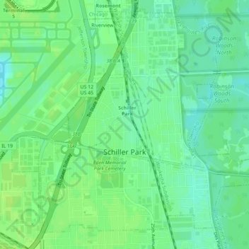
Name: Schiller Park topographic map, elevation, terrain.
Location: Schiller Park, Cook County, Illinois, USA (41.94539 -87.89076 41.97333 -87.84744)
Average elevation: 640 ft
Minimum elevation: 617 ft
Maximum elevation: 659 ft