
Tabaco topographic map
Interactive map
Click on the map to display elevation.
About this map
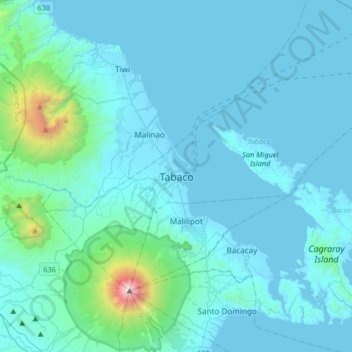
Name: Tabaco topographic map, elevation, terrain.
Location: Tabaco, Albay, Región de Bicol, 451, Filipinas (13.19931 123.57020 13.51931 123.89020)
Average elevation: 597 ft
Minimum elevation: -3 ft
Maximum elevation: 8,012 ft