
Baath Dam topographic map
Interactive map
Click on the map to display elevation.
About this map
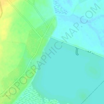
Name: Baath Dam topographic map, elevation, terrain.
Location: Baath Dam, Ar-Raqqah, Syria (35.88196 38.73255 35.88984 38.75848)
Average elevation: 843 ft
Minimum elevation: 820 ft
Maximum elevation: 892 ft
Other topographic maps
Click on a map to view its topography, its elevation and its terrain.