Guillaumes topographic map
Interactive map
Click on the map to display elevation.
About this map
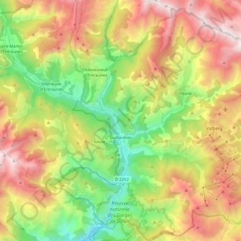
Name: Guillaumes topographic map, elevation, terrain.
Average elevation: 4,905 ft
Minimum elevation: 2,133 ft
Maximum elevation: 8,396 ft

Click on the map to display elevation.
Name: Guillaumes topographic map, elevation, terrain.
Average elevation: 4,905 ft
Minimum elevation: 2,133 ft
Maximum elevation: 8,396 ft