
Vauban Esquermes topographic map
Interactive map
Click on the map to display elevation.
About this map
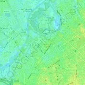
Name: Vauban Esquermes topographic map, elevation, terrain.
Average elevation: 85 ft
Minimum elevation: 59 ft
Maximum elevation: 112 ft
Other topographic maps
Click on a map to view its topography, its elevation and its terrain.
Vieux Lille
France > Nord-Pas-de-Calais and Picardy > Lille
Vieux Lille, Lille, Nord, Nord-Pas-de-Calais and Picardy, Metropolitan France, France
Average elevation: 92 ft