
Grande plaine et nord topographic map
Interactive map
Click on the map to display elevation.
About this map
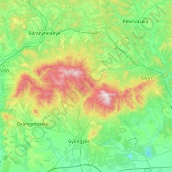
Name: Grande plaine et nord topographic map, elevation, terrain.
Average elevation: 935 ft
Minimum elevation: 125 ft
Maximum elevation: 3,330 ft
Other topographic maps
Click on a map to view its topography, its elevation and its terrain.
Hongrie septentrionale
Mátra, Gyöngyössolymos, Gyöngyösi járás, Heves megye, Hongrie septentrionale, Hongrie
Average elevation: 935 ft