
Rosebud topographic map
Interactive map
Click on the map to display elevation.
About this map
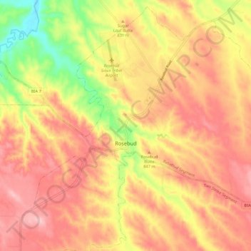
Name: Rosebud topographic map, elevation, terrain.
Location: Rosebud, Todd County, South Dakota, 57570, USA (43.20116 -100.87439 43.27516 -100.76782)
Average elevation: 2,723 ft
Minimum elevation: 2,369 ft
Maximum elevation: 2,946 ft