
El Palomar topographic map
Interactive map
Click on the map to display elevation.
About this map
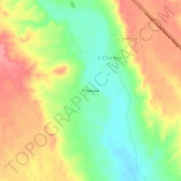
Name: El Palomar topographic map, elevation, terrain.
Location: El Palomar, El Chamizal, Satevó, Chihuahua, México (27.99912 -106.21939 28.03912 -106.17939)
Average elevation: 4,810 ft
Minimum elevation: 4,646 ft
Maximum elevation: 4,977 ft