
Gurha topographic map
Interactive map
Click on the map to display elevation.
About this map
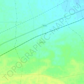
Name: Gurha topographic map, elevation, terrain.
Location: Gurha, Mahendragarh, Haryana, India (28.28978 76.23372 28.32978 76.27372)
Average elevation: 850 ft
Minimum elevation: 827 ft
Maximum elevation: 879 ft