
Rathmore topographic map
Interactive map
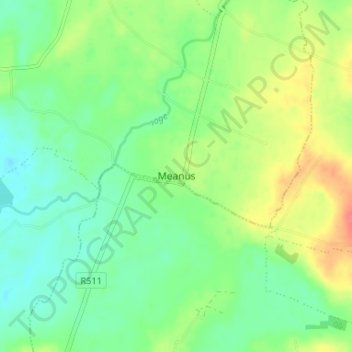
Click on the map to display elevation.
About this map
Name: Rathmore topographic map, elevation, terrain.
Location: Rathmore, Meanus, County Limerick, Munster, Ireland (52.49157 -8.62845 52.53157 -8.58845)
Average elevation: 187 ft
Minimum elevation: 121 ft
Maximum elevation: 295 ft