
St. George's Island topographic map
Interactive map
Click on the map to display elevation.
About this map
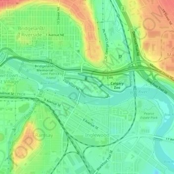
Name: St. George's Island topographic map, elevation, terrain.
Location: St. George's Island, Calgary, Alberta, Canada (51.04332 -114.03657 51.04696 -114.02398)
Average elevation: 3,438 ft
Minimum elevation: 3,363 ft
Maximum elevation: 3,553 ft
Other topographic maps
Click on a map to view its topography, its elevation and its terrain.