
Páramo de Arcabuco topographic map
Interactive map
Click on the map to display elevation.
About this map
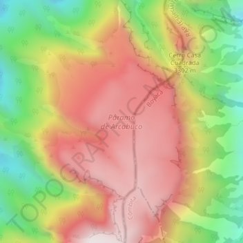
Name: Páramo de Arcabuco topographic map, elevation, terrain.
Average elevation: 10,207 ft
Minimum elevation: 8,356 ft
Maximum elevation: 11,762 ft