
Carvalhelhos topographic map
Interactive map
Click on the map to display elevation.
About this map
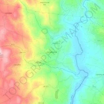
Name: Carvalhelhos topographic map, elevation, terrain.
Location: Carvalhelhos, Boticas, Vila Real, Alto Tâmega, Norte, Portugal (41.67029 -7.74901 41.71029 -7.70901)
Average elevation: 2,743 ft
Minimum elevation: 2,362 ft
Maximum elevation: 3,307 ft