
Pisgah topographic map
Interactive map
Click on the map to display elevation.
About this map
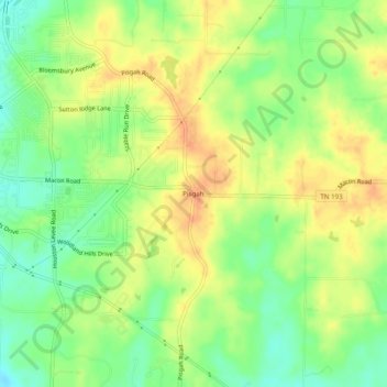
Name: Pisgah topographic map, elevation, terrain.
Location: Pisgah, Shelby County, Tennessee, USA (35.13870 -89.72980 35.17870 -89.68980)
Average elevation: 354 ft
Minimum elevation: 285 ft
Maximum elevation: 413 ft