
义牒镇 topographic map
Interactive map
Click on the map to display elevation.
About this map
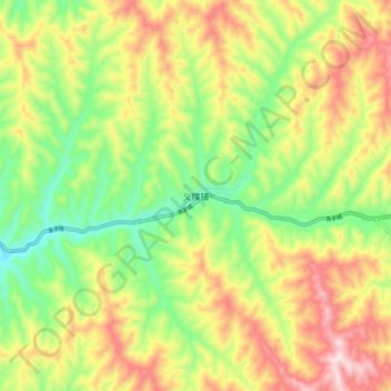
Name: 义牒镇 topographic map, elevation, terrain.
Location: 义牒镇, 石楼县, 吕梁市, 山西省, 中国 (36.95934 110.52203 37.03934 110.60203)
Average elevation: 3,222 ft
Minimum elevation: 2,493 ft
Maximum elevation: 4,101 ft
Other topographic maps
Click on a map to view its topography, its elevation and its terrain.