
อ่าวอ่าง topographic map
Interactive map
Click on the map to display elevation.
About this map
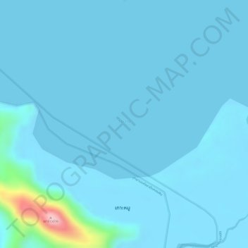
Name: อ่าวอ่าง topographic map, elevation, terrain.
Location: อ่าวอ่าง, ราชกรูด, Ranong, Thailand (9.67251 98.49096 9.68542 98.52038)
Average elevation: 43 ft
Minimum elevation: 0 ft
Maximum elevation: 689 ft