
Plosescharte - Forcella Plose topographic map
Interactive map
Click on the map to display elevation.
About this map
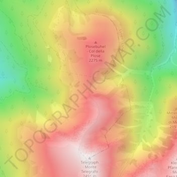
Name: Plosescharte - Forcella Plose topographic map, elevation, terrain.
Average elevation: 6,650 ft
Minimum elevation: 4,692 ft
Maximum elevation: 8,166 ft