
Province of La Unión topographic map
Interactive map
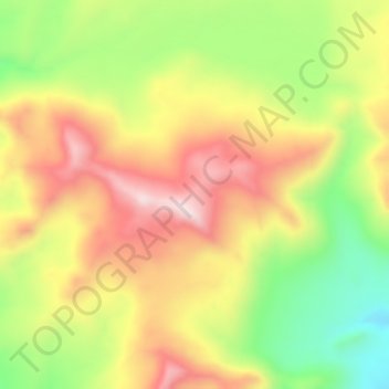
Click on the map to display elevation.
About this map
Name: Province of La Unión topographic map, elevation, terrain.
Average elevation: 15,810 ft
Minimum elevation: 14,987 ft
Maximum elevation: 16,578 ft